LiDAR Mapping in Turkey | UAV Turkey Drone Survey Services
Professional 3D Terrain Mapping with LiDAR – UAV Turkey
LiDAR Drone Mapping Services in Turkey | High-Precision Solutions
Advanced LiDAR Mapping & Surveying in Turkey | UAV Turkey Experts
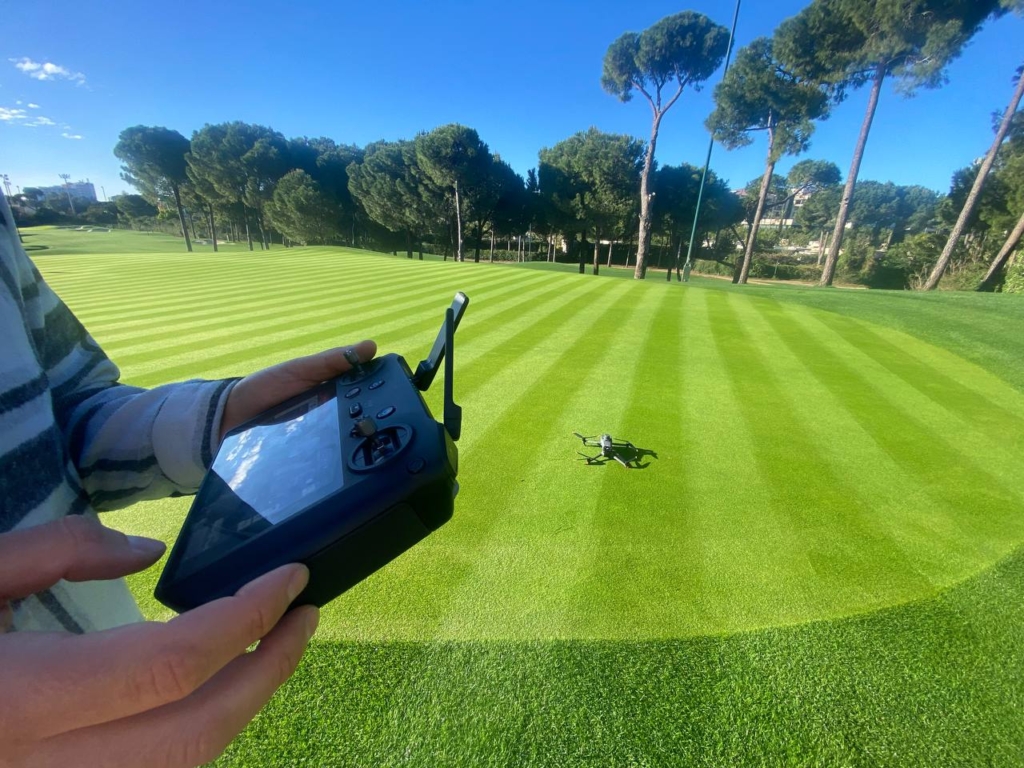
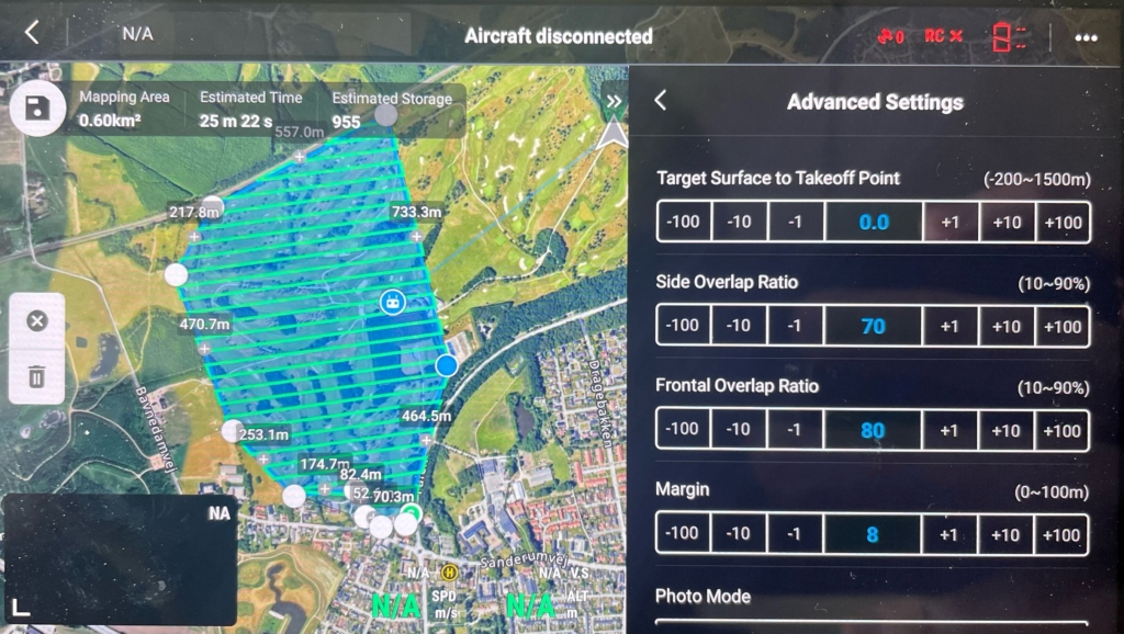
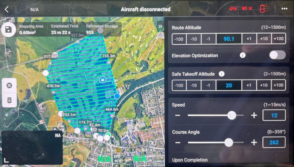
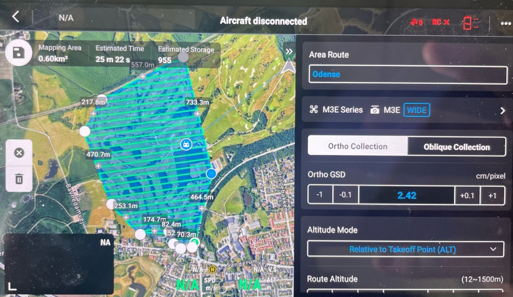
We are on-site across Turkey offering high-precision mapping and data analysis solutions with advanced Drone and EL Gimbal Lidar systems. We deliver the fast, accurate, and reliable spatial data required by the modern world with our professional service approach.
🌍 Extensive Service Network Across Turkey and Beyond
Our services are not limited to all cities within Turkey. We also offer solutions across a broad geographical area, including Balkan countries, Asia, and Africa, tailoring our approach to various terrain and climate conditions. With our international experience, we provide region-specific strategies that add maximum value to our clients’ projects.
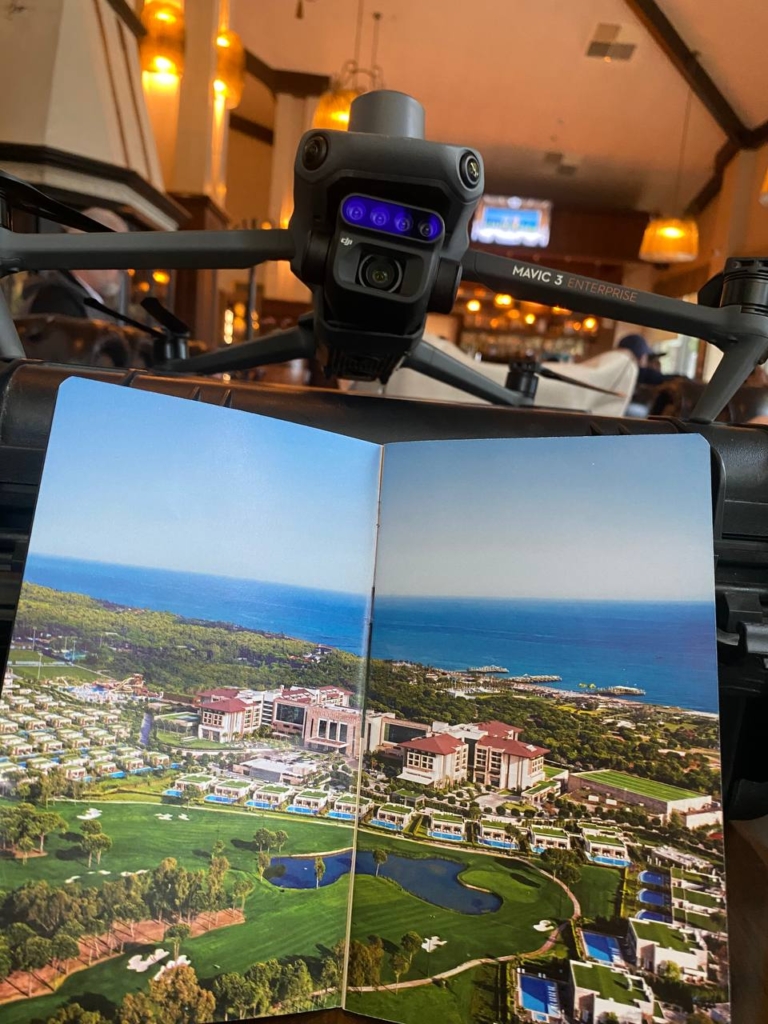
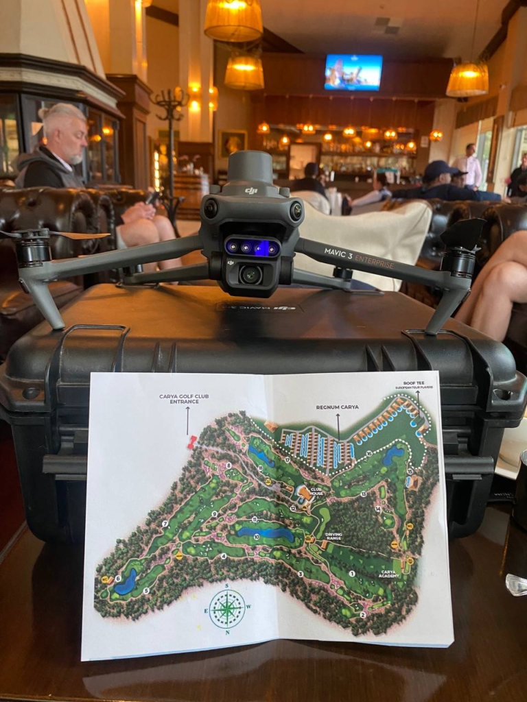
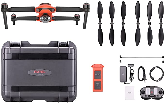
🚀 State-of-the-Art Drone and Lidar Systems
Our fleet includes high-resolution Lidar cameras, multi-rotor industrial drones, and portable EL Gimbal systems. This allows us to produce versatile data, from precise 3D modeling of large areas to detailed analysis on a micro-scale.
🤝 Equipment and Team Rental Services
Whether you are working with your own technical team or need expert support, we are here to provide you with equipment rental and professional on-site personnel services. We offer the latest technology equipment along with certified operators, available for short or long-term use.
🎯 Sectoral Solutions
🏗️ Construction and Infrastructure Projects
Lidar-based drone mapping enables the rapid and accurate generation of data for large-scale construction and infrastructure projects. Complex projects like road alignments, bridge crossings, and dam constructions can be optimized in terms of time and cost by improving workflows.
⚡ Energy (Solar, Wind, Hydroelectric Projects)
In energy investments, from site selection to monitoring processes, mapping plays a critical role. Lidar-supported terrain analysis simplifies calculations of slope, shading, and site layout. Furthermore, aerial inspections of existing infrastructure can be carried out quickly.
⛏️ Mining and Volume Calculations
Lidar technology provides significant advantages in mining sites for reserve calculation, stock tracking, and monitoring terrain changes. With highly accurate surface models, volume analysis can be reliably performed.
🌾 Agriculture and Land Management
In agricultural fields, drone-based imaging boosts efficiency in applications like precision irrigation, soil analysis, crop mapping, and plant health monitoring. Topographic analysis with Lidar data can be used for water management and erosion control planning.
🌲 Environment, Forestry, and Conservation
Lidar technology is unmatched for environmental applications, such as vegetation density analysis, tree counting, and post-fire damage assessment in forestry. Since data is collected without disturbing nature, it also provides significant benefits for sustainability.
📌 Professional Service Approach
We develop customized solutions for each project, ensuring not only data collection but also analysis and reporting to support decision-making. With our technological investments and expert team, we create a difference in the field of Lidar-supported professional mapping services.